

Canada is heading toward a winter season that could look very different from what many residents are accustomed to, as one of the strongest El Niño events in recent decades continues to intensify over the Pacific Ocean.
According to the U.S. Climate Prediction Center, El Niño is strengthening rapidly and is expected to remain strong to very strong through the winter months and into early spring 2027. Current forecasts show an extremely high probability that El Niño conditions will persist through January, February and March.
For Canadians, that does not mean winter will disappear. Snowstorms, Arctic outbreaks and periods of severe cold can still occur. However, meteorologists are increasingly pointing toward a season in which milder conditions may dominate more frequently than usual.
Ontario and Eastern Canada could see an unusually mild start
The potential effects are particularly significant for Ontario, Quebec and other parts of Eastern Canada.
Current long-range projections indicate that above-seasonal temperatures are likely across much of Eastern Canada during the opening part of winter. Ontario and southern Quebec are among the regions where the strongest temperature departures could occur, particularly around December.
That could result in fewer prolonged periods of extreme cold, more frequent temperature swings and greater uncertainty over whether precipitation falls as snow, rain, freezing rain or a mixture of all three.
A milder winter does not necessarily mean a quiet one.
Storm systems moving through Eastern Canada could still produce significant snowfall when enough cold air is available. Meanwhile, warmer conditions around the Great Lakes could potentially contribute to periods of lake-effect snow whenever Arctic air temporarily moves across the region.

Less snow does not mean no snow
El Niño winters often bring warmer Pacific air farther across Canada, reducing the frequency of sustained Arctic conditions.
The Weather Network has indicated that snowfall totals could be affected across parts of the country, particularly where temperatures remain close to or above freezing for longer periods. Ski resorts and winter recreation areas could therefore face a more difficult start to the season.
Western Canada could also experience a milder-than-normal beginning to winter, although conditions will vary significantly by region.
The Prairies may see fewer winter storms than usual, while portions of southern British Columbia could still experience periods of wet weather. Saskatchewan and Manitoba are among the areas expected to experience frequent above-normal temperatures early in the season.
A powerful El Niño — but still plenty of uncertainty
El Niño develops when unusually warm ocean temperatures in the tropical Pacific alter atmospheric circulation around the world.
The current event has attracted considerable attention because of its strength. NOAA reported in October that ocean and atmospheric measurements were consistent with a strengthening El Niño, with a strong-to-very strong event expected through the winter.
However, seasonal forecasts describe probabilities and general patterns — not the weather Canadians will experience every day.
Even during an unusually mild winter, periods of dangerous cold, snowstorms, freezing rain and rapid temperature changes remain possible.
One major variable will be the polar vortex. Meteorologists are monitoring signs of unusual activity in the upper atmosphere that could occasionally allow Arctic air to move south despite El Niño’s overall warming influence.
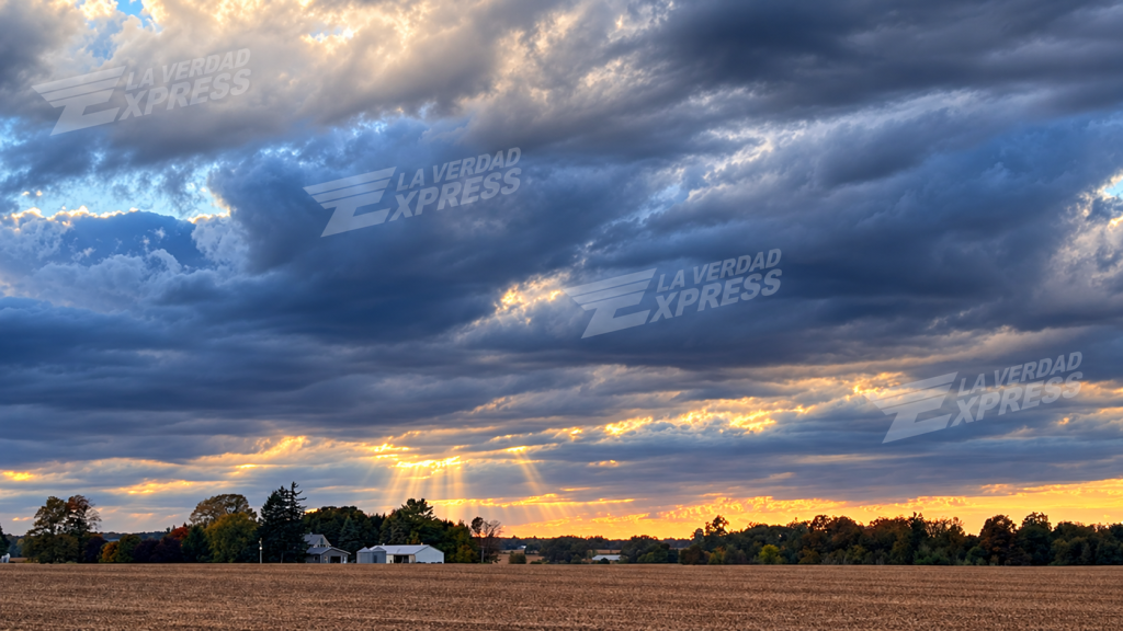
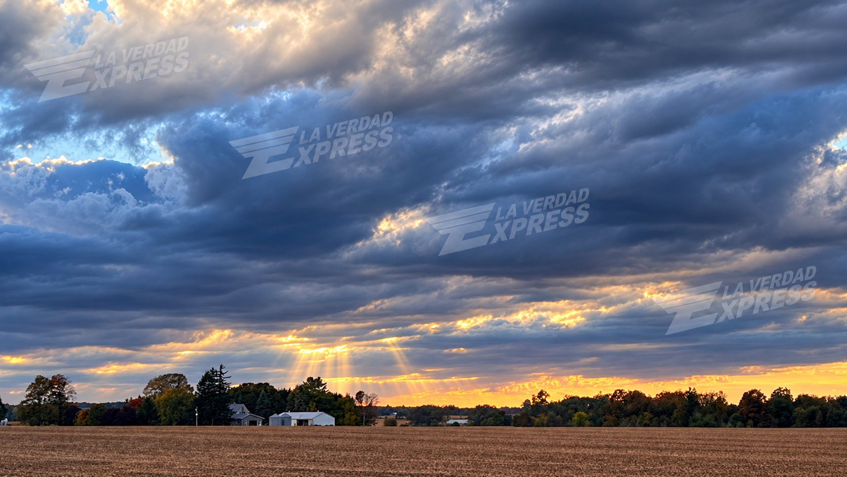
Dramatic autumn skies over rural Ontario as Canada prepares for a winter increasingly influenced by a powerful El Niño pattern. Photo: La Verdad Express.
What it could mean for Canadians
For households, municipalities and businesses, a warmer-than-normal winter can have mixed consequences.
Reduced heating demand may provide some relief during milder stretches, while unpredictable freeze-thaw cycles can create difficult road conditions and contribute to potholes and ice formation.
Farmers and rural communities will also be watching precipitation levels closely. Lower snowfall in some regions can affect spring soil moisture, while winter tourism businesses depend heavily on reliable snow and sustained cold temperatures.
For now, Canadians should not assume that a powerful El Niño means winter has been cancelled.
Instead, the emerging picture is of a season characterized by more mild periods, greater variability and potentially shorter bursts of traditional Canadian winter weather.
As November approaches, updated seasonal forecasts will provide a clearer picture of how this unusually powerful Pacific climate pattern will shape Canada during the months ahead.
La Verdad Express — Analysis with meaning and truth.







Leave a Reply